The Green Trail begins near the Park Office on Terrace Drive. The Red Trail meets Terrace Drive in several places. The Yellow Trail also ends on Terrace Drive near the South Trailhead.
The beginning of the Orange Trail is located on John Findley Drive near the stables.
The Red Trail, also known as the Double Oak Trail, is designated as the bike trail and is 17 miles long. It is steep and rough in places. Hikers, as well as bikers, can use this trail; however, this is the only trail in the park that bikers can use. The Red Trail is a loop.
The White Trail, or the Shackleford Point Trail, is 6.4 miles long (one way). You must turn arouns and come back the way you came or pick up a connector trail to go a different way. It begins at the North Trailhead and follows a path similiar to the Blue Trail but at a lower elevation. The White Trail does climb to the highest point in the park, which is known as Shackleford Point at an elevation of 1,260 feet. The White Trail ends at the Peavine Falls parking lot.
The Blue Trail, or the South Rim Trail, is 6.7 miles long (one way). You must turn around and come back the way you came or pick up a connector trail to go a different way. Beginning at the North Trailhead, the Blue Trail makes a steep climb up the ridge, going from an elevation of approximately 620 feet to approximately 1100 feet. Once the ascent is made, the trail follows the ridge to end at the Peavine Falls parking lot.
The Yellow Trail, known as the Foothills Trail, is approximately 8 miles long (one way). It begins at the North Trailhead and travels at a low elevation around Lake Tranquility to end at Peavine Road close to the South Trailhead area (off Terrace Drive). The Yellow Trail does make some climbs.
Oak Mountain is not affiliated with AmericanTowns Media
It’s hard to beat a good margarita! This classic cocktail has grown a cult-like following in Alabama, battling to see who can shake up the biggest, most creative margarita. These best places for… Read More
Alabama has so much beautiful natural landscape to explore, but when it’s raining cats and dogs, outdoor activities aren’t really an option. From the interactive exhibits at McWane… Read More
Want to know the hippest places to snag a cup of Joe? The freshest beans? If you are looking for invigorating coffee that will help to start your work day, power you through a study session, or give… Read More
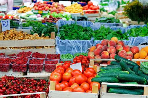
Looking for farm-fresh goods, homemade jellies, and other perfect little gifts? Alabama’s farmers markets offer all that and more. Farmers market’s bring the community together, support… Read More
It’s just ain’t Alabama without some down-home fried chicken. Alabama has perfected what this savory southern favorite should look and taste like, offering the best combination of crunchy, golden,… Read More